Welcome to Cory's Field Services Services Our Process Contact

Welcome to Cory's Field Services


For years we’ve specialized in water well location through a process of underground imaging. Whether a residential well, irrigation or livestock well, we find your subsurface water source. We understand the high stakes challenge of locating water, and take your project seriously.

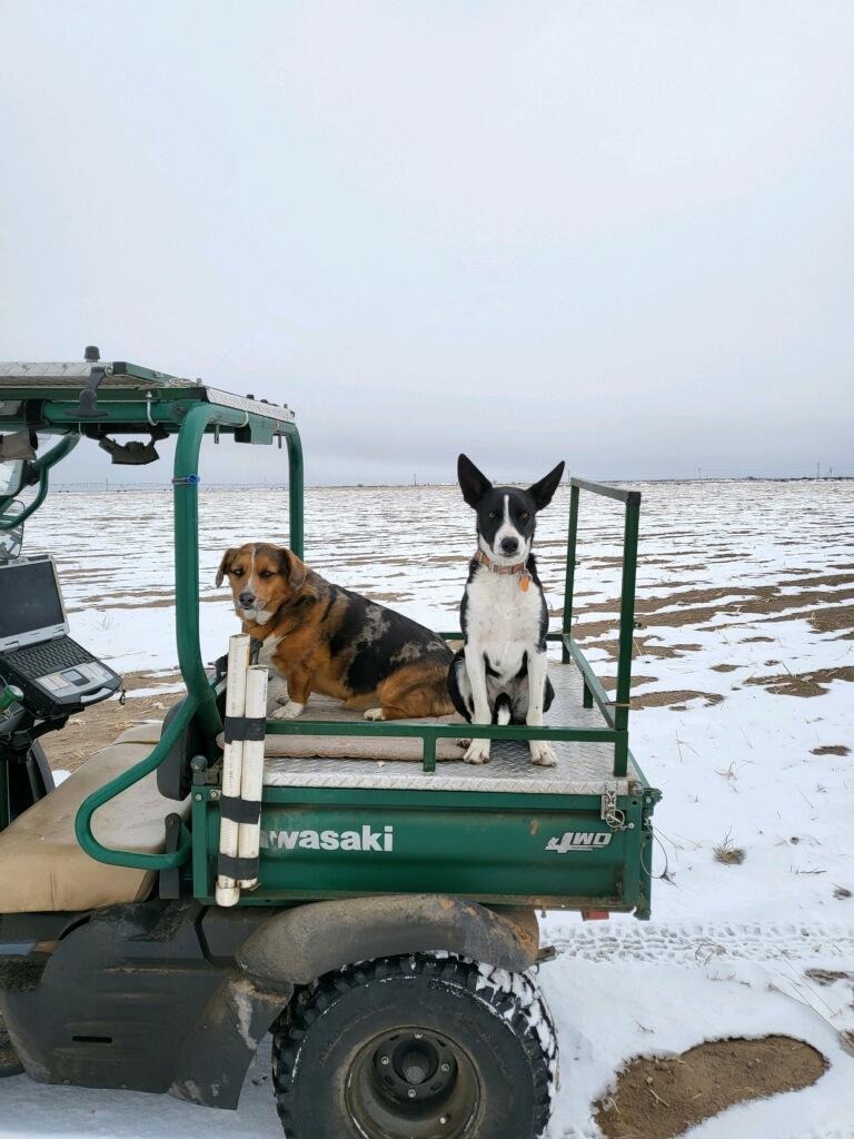
At Cory’s Field Services, we specialize in geophysical magnetic surveying using the earth’s magnetic field to detect both ferrous and non-ferrous materials with a focus on water. Cory’s Field Services uses a UTV, depending on the area that needs to be scanned. With our multidirectional scanning process, we insure the object’s or target’s position or direction of flow. Scans are done in a 3D format, allowing for a better all-around view.


Here's some of whom we have worked with:
Bureau of Land ManagementState of ColoradoColorado State Land Board
Colorado State Land BoardMiller Excavation Inc.Hathorn Construction

... And businesses we support


Here's the states we offer service in:

With more in the future...
We've helped a diverse range of clients achieve their goals...


We got water at 210’, 10GPM. Your data was spot on! - Antero Junction, CO.


Hey Ray! The Westcliff well was drilled a few weeks ago and the driller said it will be one heck of a stock well! 👍 and the Two Buttes well was just finished and they hit good water too!


Hi Ray! Great news, all of the wells that you helped with hit water!


The Services We Offer

Our underground imaging services include:

  • Detection of water as well as ferrous and non-ferrous materials
  • Comprehensive 3D imaging for a dynamic underground view
  • Identification of water saturation
  • Locating abandoned wells

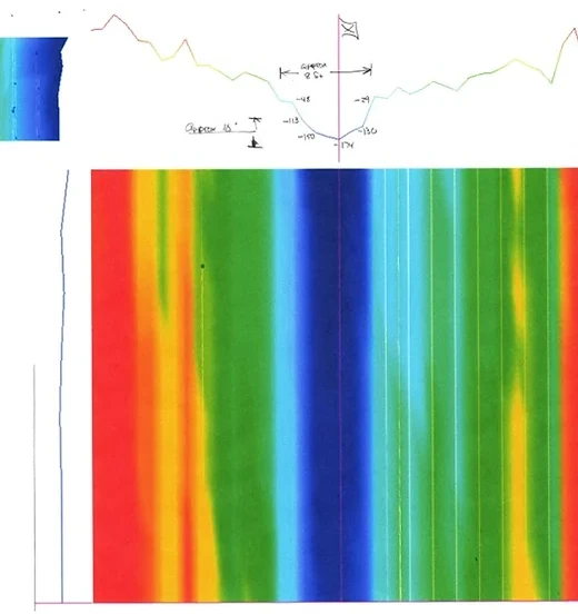
We evaluate data values that are used to determine the ferrous minerals from non-ferrous minerals (water). The higher the negative number, the better the water saturation. We can not guarantee any specific depth numbers due to certain soils and water deflection of the signal that can be distorted and give false readings. Only through drilling or digging will accurate depth be provided.

Our Process

At Cory’s Field Services, we follow a simple process:

  1. Contact us to schedule an appointment for underground imaging services.
  2. We arrive at the site with the necessary equipment and conduct the scan in multiple directions.
  3. We will provide you with a view of the area and data values for analysis.
  4. Finally, we will stake out the best suggested points for a driller, and will provide data for the customer.

Here are some examples of our past work:

Residential Well in Southfork, Colorado.

This scan is of an residential well staked and drilled in Southfork, Colorado, to 825 feet and produced 25 GPM. In this scan, you can see the different layers from the red representing positive minerals in the soil (irons) to the yellows representing the gravel and sands that can be either positive, showing dry, or negative, showing water saturation. The green represents the clay and silts present, which can also be negative or positive.

Irrigation Well in Center, CO.

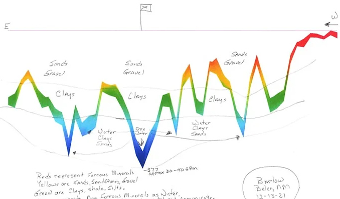
Well in Belen, NM.

This well was drilled and water was found from 320’ to 720’ in Belen, NM.

Well in Belen, NM. Side view

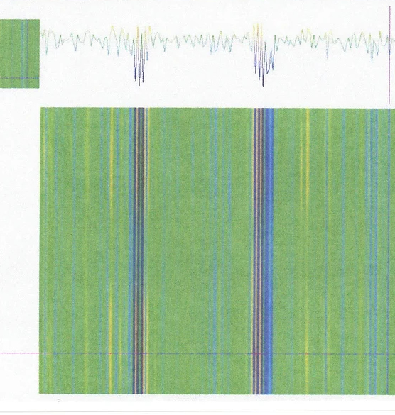
Channels South of Last Chance, CO.

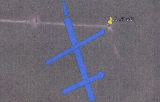
This scan is of a well drilled south of Last Chance, where there are two channels running southwest to northeast.

Well South of Last Chance, CO. Overview

Well South of Last Chance, CO. Google Earth


Please Note:

Cory’s Field Services does not guarantee a successful water well, depth of well, quality of water or GPM output. Cory’s Field Services aids in locating an area that helps in increasing the chances in having a successful well drilled.

Contact

Contact us today to learn more about our underground imaging services and how we can assist you in detecting ferrous and non-ferrous materials, locating abandoned wells, and identifying water saturation.

 corysfieldservices@outlook.com

 720-517-2444

 Dacono, Colorado and Union City, Oklahoma

Contact Us Dogs